Tag: precision ag
Sony Software Update Boosts Capabilities for Precision Ag
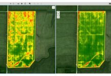
Sony Electronics Inc. has released a version 2.0 software update for its Smart Agriculture Solution, aimed at providing agricultural customers with new...
New Sentera Sensor Offers ‘Cutting-Edge Agricultural Insights’
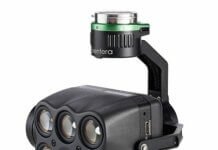
Precision-ag technology company Sentera has released the 6X, a sensor that delivers robust data and processing capabilities for seed performance, disease, weed...
Boston Drone Developer Looks to ‘Expand the Possibilities’ of Precision Ag
American Robotics, a Boston-based drone developer specializing in agricultural automation, has raised $1.1 million in seed funding.The round was led by angel investors and...
Sentera’s Precision Ag Drone Solutions Arrive at 350 Resellers
Minneapolis-based Sentera, a provider of drone imaging solutions in farming, has expanded its reseller network to more than 350 retail locations across North America.Sentera’s...
SLANTRANGE Brings New Agricultural Drone Tools to Market
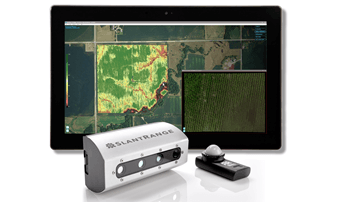
SLANTRANGE Inc., a provider of drone-based remote sensing and analytics systems for agriculture, has announced the availability of its new 3p multispectral sensor system...
Utah State Unveils BluJay All-Electric UAVs
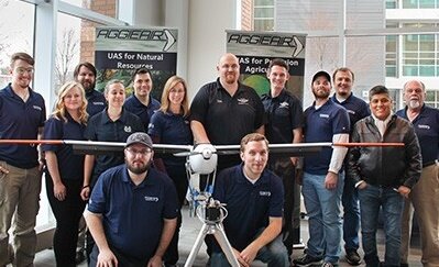
Utah State University has unveiled its BluJay line of unmanned aerial vehicles (UAVs), all-electric aircraft used for research in agriculture and water resources engineering.The...
Sentera Converts DJI Phantom 4 Pro Drone into Precision Scouting Tool
Just in time for the 2017 growing season in the northern hemisphere, Sentera says it can now make the DJI Phantom 4 Pro drone...
AeroVironment Works Extensively with Farmers on UAS Integration
AeroVironment Inc., a provider of unmanned aircraft systems (UAS) for both military and commercial applications, is sharing the details on its ongoing pilot programs...
Sentera Brings NDVI Toolbox to Drone Precision Ag Software
Minneapolis-based drone software company Sentera has released its NDVI Toolbox for AgVault - a set of tools for customizable normalized difference vegetation index (NDVI)...
Pix4D Touting Drone Mapping Solutions at United Nations Panel
Photogrammetry software company Pix4D is speaking about drone mapping at a panel held today by the United Nations’ Commission on Science and Technology for...


