Aggregates Company Leveraging Kespry Drone-Based Tool
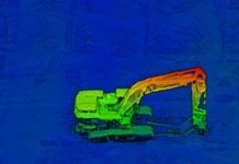
Kespry, a drone-based aerial intelligence solution provider, says Midsouth Aggregates is now using the Kespry platform for inventory management and mine planning.
SimActive Introduces New LiDAR Workflow
SimActive Inc., a developer of photogrammetry software, says a new LiDAR workflow is now integrated in its Correlator3D product.
Ouster Releases 32-Channel LiDAR Sensor
Ouster Inc., a provider of high-resolution LiDAR sensors, is introducing the OS1-32, a rugged, compact, 32-channel sensor.With...
Microdrones Releasing a Number of Enhancements to Solutions Suite
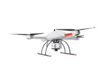
Microdrones is debuting three new Integrated UAV Systems based on the company’s md4-3000 aircraft: the mdMapper3000DuoG VHR, the mdMapper3000DuoG and the mdMapper3000 PPK.
Fortem Partners with Bosch to Strengthen SkyDome Drone Security Platform
Fortem Technologies, a provider of airspace awareness, safety and security solutions for the drone industry, has announced a new partnership with Bosch,...
Raytheon, AirMap Integrate Solutions for UAS Monitoring
AirMap has its integrated its unmanned aircraft systems (UAS) monitoring capabilities into a working prototype of Raytheon’s next-generation air traffic controller workstation,...
RedTail Launches Hi-Res LiDAR System for Small Drones
West Virginia-based RedTail LiDAR Systems, a division of 4D Tech Solutions Inc., has introduced the RTL-400 LiDAR mapping system.
New Pix4D Drone Software Designed for First Responders
Pix4D, a provider of drone mapping and photogrammetry software solutions, has launched Pix4Dreact, 2D fast-mapping software tailored specifically to the needs of...
Drone Parachute Orders Keep Rolling in for ParaZero
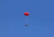
Israel-based drone parachute company ParaZero Ltd. has secured firm orders of $235,000 from international drone manufacturers for custom parachute systems.
MicaSense Rolls out 10-Band, Dual-Camera Imaging System
MicaSense has released the RedEdge-MX dual-camera imaging system, a 10-band multispectral solution designed for aerial applications such as coastline monitoring, vegetation research...


