DroneDeploy Wraps Up New Funding Round
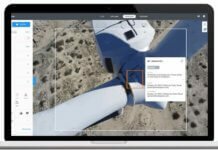
DroneDeploy says it has closed a $35 million Series D funding round led by Bessemer Venture Partners. Bessemer partner David Cowan, a...
Microdrones Releasing a Number of Enhancements to Solutions Suite
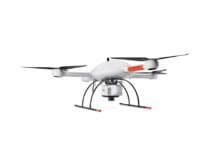
Microdrones is debuting three new Integrated UAV Systems based on the company’s md4-3000 aircraft: the mdMapper3000DuoG VHR, the mdMapper3000DuoG and the mdMapper3000 PPK.
GeoCue Selects Quanergy’s M8 LiDAR Sensor for True View 410 System
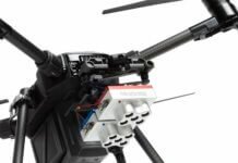
Quanergy Systems Inc., a provider of LiDAR (light detection and ranging) sensors and smart sensing solutions, says GeoCue Group Inc., a provider...
RedTail Launches Hi-Res LiDAR System for Small Drones
West Virginia-based RedTail LiDAR Systems, a division of 4D Tech Solutions Inc., has introduced the RTL-400 LiDAR mapping system.
Edmonton Airport Deploys Drones for Runway Inspections
On Sunday, on behalf of Edmonton International Airport (EIA) in Alberta, AERIUM Analytics flew a Microdrones mdLiDAR1000 to collect LiDAR and imagery...
New Pix4D Drone Software Designed for First Responders
Pix4D, a provider of drone mapping and photogrammetry software solutions, has launched Pix4Dreact, 2D fast-mapping software tailored specifically to the needs of...
New Boeing-Led Consortium Focuses on Remote Sensing in the Arctic
Spearheaded by Boeing, a new remote sensing network aims to advance safety and security applications in the Arctic, including through the use...
New Government Access Can Transform UAS Sector
Big names in tech and transportation tend to grab national headlines around developments in unmanned aircraft systems (UAS), especially as they roll...
MicaSense Rolls out 10-Band, Dual-Camera Imaging System
MicaSense has released the RedEdge-MX dual-camera imaging system, a 10-band multispectral solution designed for aerial applications such as coastline monitoring, vegetation research...
MIT Researcher Deploys Drones to Study Climate Change Effects
A PhD student at the Massachusetts Institute of Technology (MIT) is using drones to study how building construction can affect a community's...


