


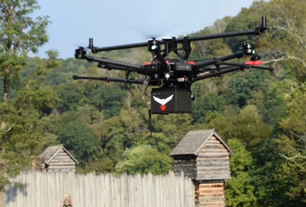
West Virginia-based RedTail LiDAR Systems, a division of 4D Tech Solutions Inc., has introduced the RTL-400 LiDAR mapping system.
The RTL-400 is designed to provide high-resolution, 3D images of objects on the ground from small drones flying at an altitude up to 400 feet.
Developed with technology licensed from the U.S. Army Research Laboratory, the RTL-400 provides scanning capabilities for a wide range of applications – e.g., precision agriculture or construction site monitoring.
The RTL-400 incorporates a microelectromechanical system (MEMS) mirror-based laser scanner that rapidly and evenly distributes laser pulses to the ground, moving side-to-side 400 times each second. This rapid line scan rate, coupled with a laser pulse rate of up to 400,000 pulses per second, yields point clouds that are “unprecedented in resolution and density,” the company claims.
Unlike other LiDAR systems, the RTL-400 can be operated in two scanning modes. In addition to the line scan mode, the RTL-400 offers a 30- x 30-degree raster scan mode for “stand and stare” missions. The scanning mode can be selected on the fly, providing drone operators operational flexibility when planning and flying their missions.
“We are very excited to introduce RedTail LiDAR System’s RTL-400. This product has been optimized for use on small drones, providing high-quality point clouds to meet the needs found in the numerous fields where LiDAR is used,” comments Brad DeRoos, president and CEO of RedTail LiDAR Systems.

A great development in LiDAR technology, and with the importance of survey and monitoring increasing day by day, this is a timely launch. Its only a few days back that I started reading about the technology in a blog by Grand View Research titled ‘LiDAR Market – A ‘Leader’ In Surveying Methods’, and with LiDAR even assisting in discovering lost civilizations, we can expect this one to pass with flying colors.