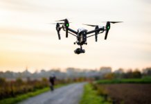
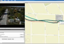
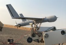
Airbus Aerial, the aerial services business of Airbus, has partnered with DroneBase, a Los Angeles-based drone operations company, to deliver a multi-source solution for aerial imagery and data from a single provider.
According to the companies, the new partnership will allow entities in various markets to work with one global source to provide data and imagery from drones, manned aircraft or satellites. This enables companies that have previously used a variety of separate sources to now use a single service provider.
“We are very excited to announce this historic partnership that leverages Aerial’s significant investment in the automation of satellite, manned aviation, and drone data capture and analysis with the DroneBase API and their global pilot network,” says Jesse Kallman, president of Airbus Aerial. “Companies new to this sort of data now have a trusted partner to help them understand which types of data and analysis make the most sense for them and can help them solve their toughest challenges.”
With bases in the U.S., Europe and Asia Pacific, Airbus Aerial offers data and analysis of information provided by drones, satellites, high-altitude aircraft and other sources. With over 100,000 commercial missions flown in over 70 countries, DroneBase has a network with tens of thousands of professional remote pilots. DroneBase claims it can provide aerial imagery and data of any U.S. address within 48-72 hours, depending on airspace.
“With the addition of DroneBase’s drone operations expertise, together, we can provide a true one-stop shop for companies to acquire all levels of aerial data and insight for various industries,” says Dan Burton, CEO and co-founder of DroneBase.


