Tag: mapping
DroneDeploy, DJI Partner on Construction Mapping Solution
San Francisco-based DroneDeploy, which provides a cloud software platform for commercial drone users, says it has joined together with drone technology giant DJI to...
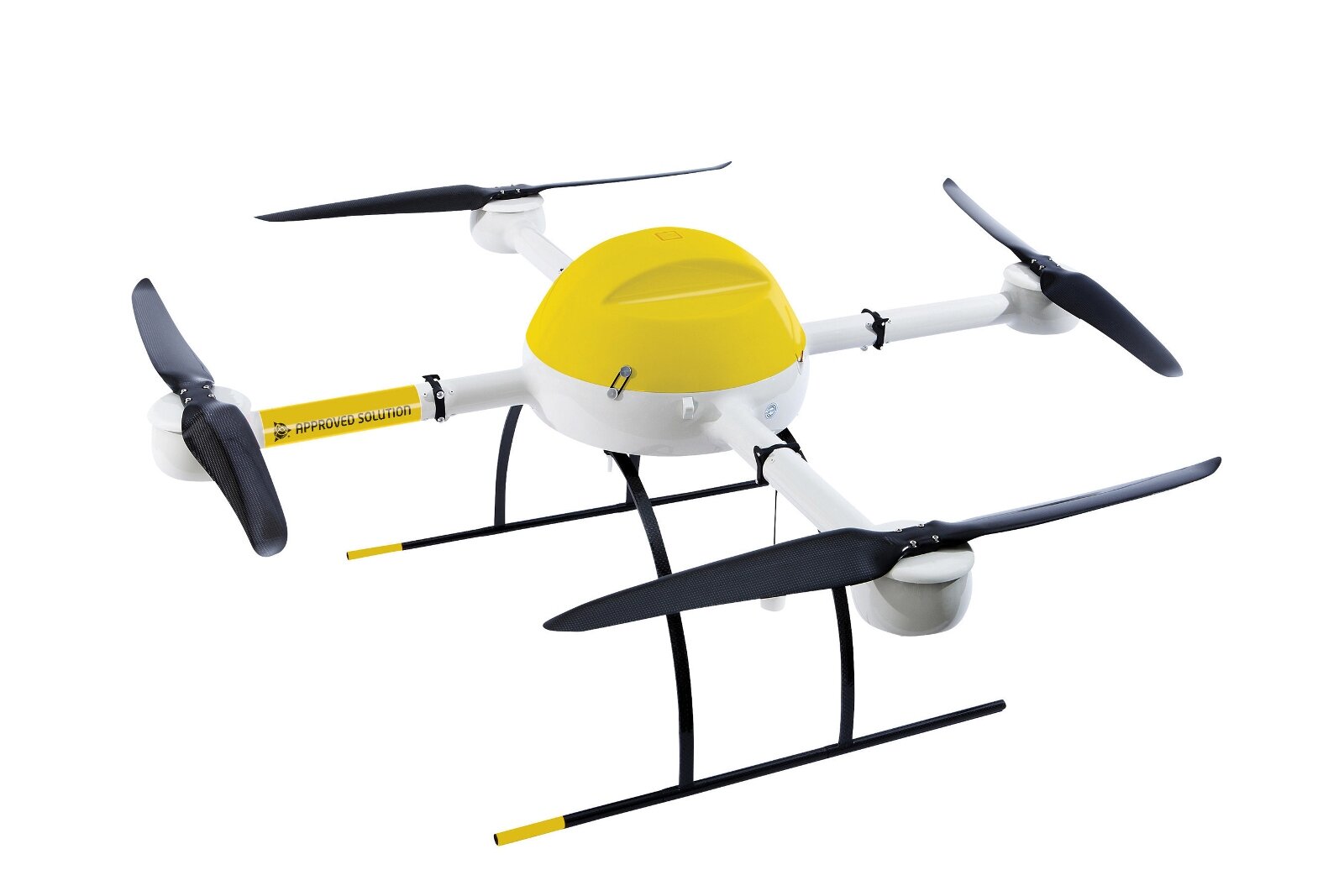
microdrones Rolls out Suite of VTOL UAS Mapping Solutions
Building upon Trimble’s recent announcement that Delair-Tech and microdrones will jointly become official unmanned aircraft system (UAS) suppliers for Trimble's worldwide distribution network, microdrones...
DroneDeploy Reveals Findings from 5 Million Drone-Mapped Acres
DroneDeploy, a San Francisco-based provider of a cloud software platform for commercial drones, has revealed that its users have now mapped a total of...
Drone Company Offering New iOS Feature for Mapping App
San Diego-based drone retailer Drones Made Easy says it has combined NASA technology with proprietary mapping applications to develop a new feature for its...
Commercial UAV Expo Issues Report on Surveying, Mapping with Drones
Commercial UAV Expo has released its most recent report, titled “Surveying and Mapping with UAVs,” which provides information on the use of unmanned aerial...
Team Heads to Nepal to Teach Drone Mapping for Disaster Response
In September, Pix4D participated in a weeklong unmanned aerial vehicle (UAV) training mission in Nepal with other technology leaders. There, they helped to teach...
Land Surveying Firm in Louisiana Gets senseFly eBee Drone Exemption
Bossier City, La.-based firm Landpoint says it has been granted a Section 333 exemption from the Federal Aviation Administration to use the senseFly eBee...
Topcon Adds AscTec Falcon 8 UAS for Small-Scale Mapping
Topcon Positioning Group says it has added the Falcon 8 rotary-wing unmanned aircraft system (UAS) to its line of data-collection solutions.The Falcon 8 UAS,...
Mid-Atlantic Company Goes with senseFly eBee UAS for Mapping
Caron East Inc., a dealer of surveying equipment in the Mid-Atlantic region, has received a Section 333 exemption from the Federal Aviation Administration to...
AirGon Gets Commercial OK for AV-900 UAS Mapping Kit
Madison, Ala.-based AirGon LLC, a wholly owned subsidiary of software development and consulting services company GeoCue Group Inc., says it now has a commercial...


