Pix4D Launches Global Workshops for Drone Mapping
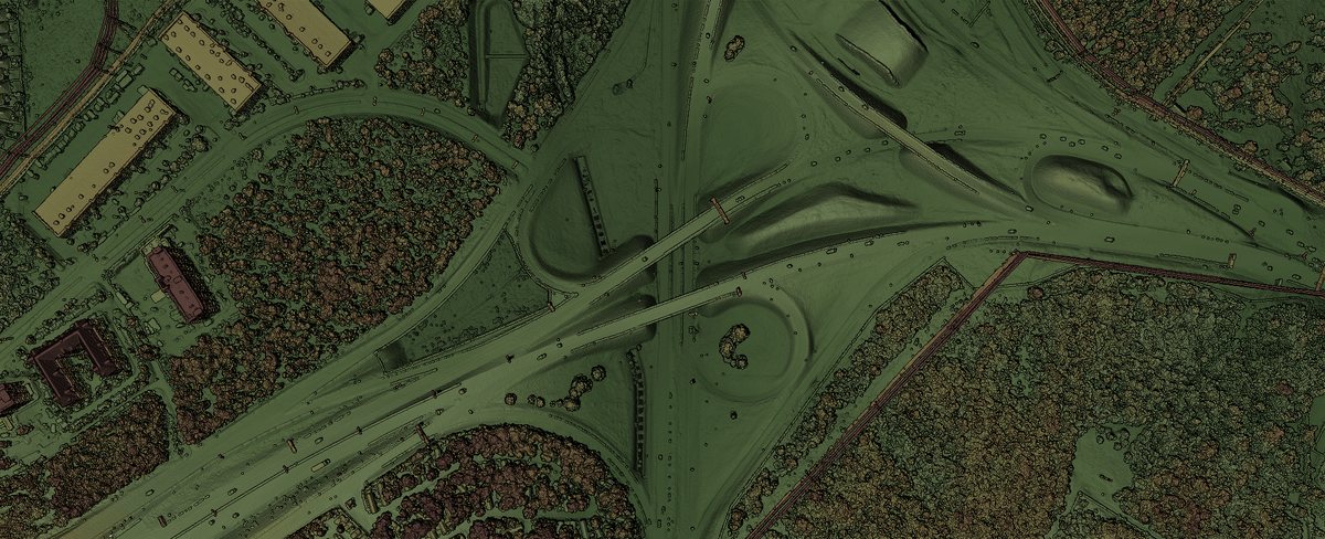
Pix4D is launching a global training program, which will offer technical workshops around the world to support the expansion of drone mapping by professionals.

Australia, Korea, Japan, China, Switzerland, Mexico and the U.S. will host the upcoming events. In the U.S., Pix4D has workshops planned for Las Vegas and San Diego.
Pix4D – which is headquartered in Lausanne, Switzerland, and has offices in San Francisco and Shanghai, China – says the launch of the training program comes on the heels of the U.S.’ new drone rulemaking and the increasing number of users who deploy drones and photogrammetry for their business.
The sessions, ranging from a half day to four days in length, will cover both the theory behind and practice of using Pix4Dmapper photogrammetry software.
Some sample topics include flight planning and data acquisition; best processing practices; accuracy and ground control points; advanced software features; surface, linear and volume measurements; and the index calculator.
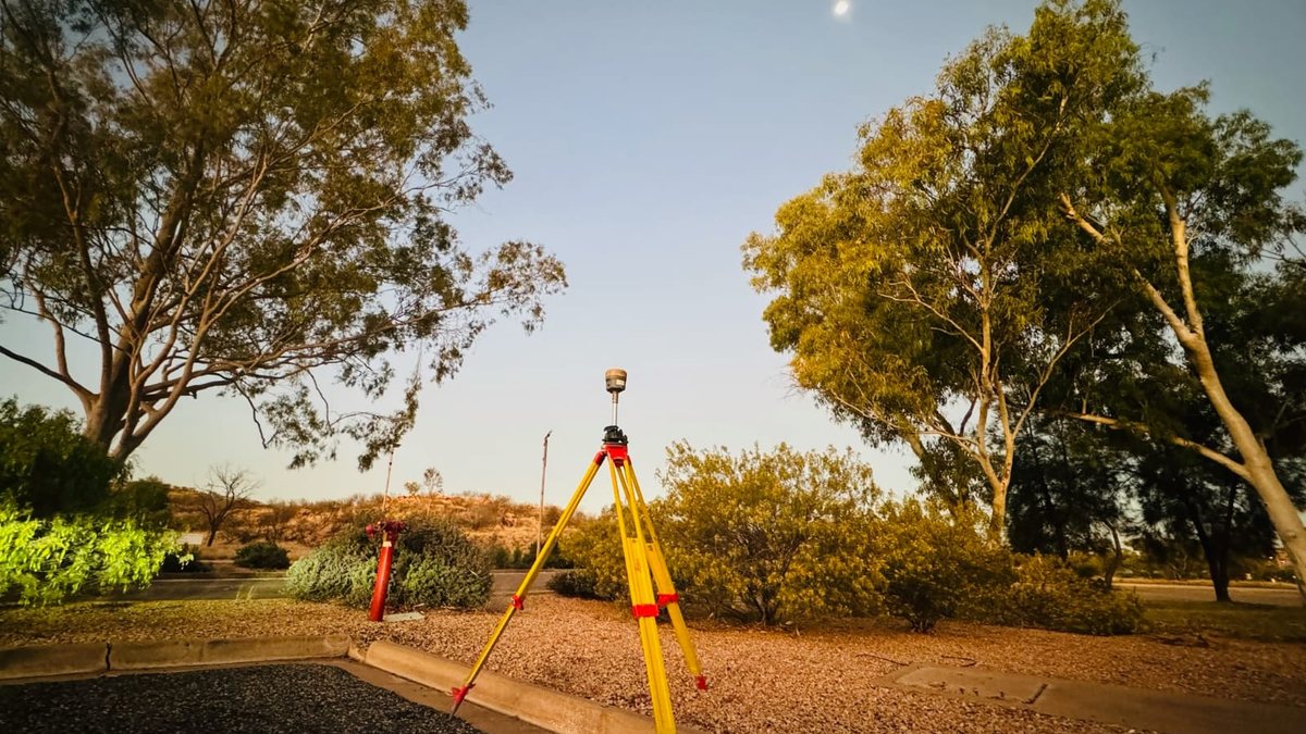
Depending on the location, drone flight demos will also take place, and participants will receive a license of Pix4Dmapper Pro for training.
More information can be found here.