Pix4D says it has launched its first agriculture-dedicated software, Pix4Dmapper Ag, in conjunction with Parrot’s new multispectral Sequoia sensor, offered by MicaSense.
According to Pix4D, farmers and agronomists can convert multispectral images into agriculture-specific maps for better crop management and analysis. Users can capture multispectral information of their fields by flying a drone with the Sequoia camera; then, they can use the Pix4Dmapper Ag to turn the images into geometrically and radiometrically accurate maps.
Pix4D says the orthomosaics, normalized difference vegetation index maps and reflectance maps produced by the Pix4Dmapper Ag give a broad aerial perspective and insight into a plant’s health that would not be visible to the naked eye. Applications include digital scouting, vigor analysis and production of fertilizer-application maps for machinery.
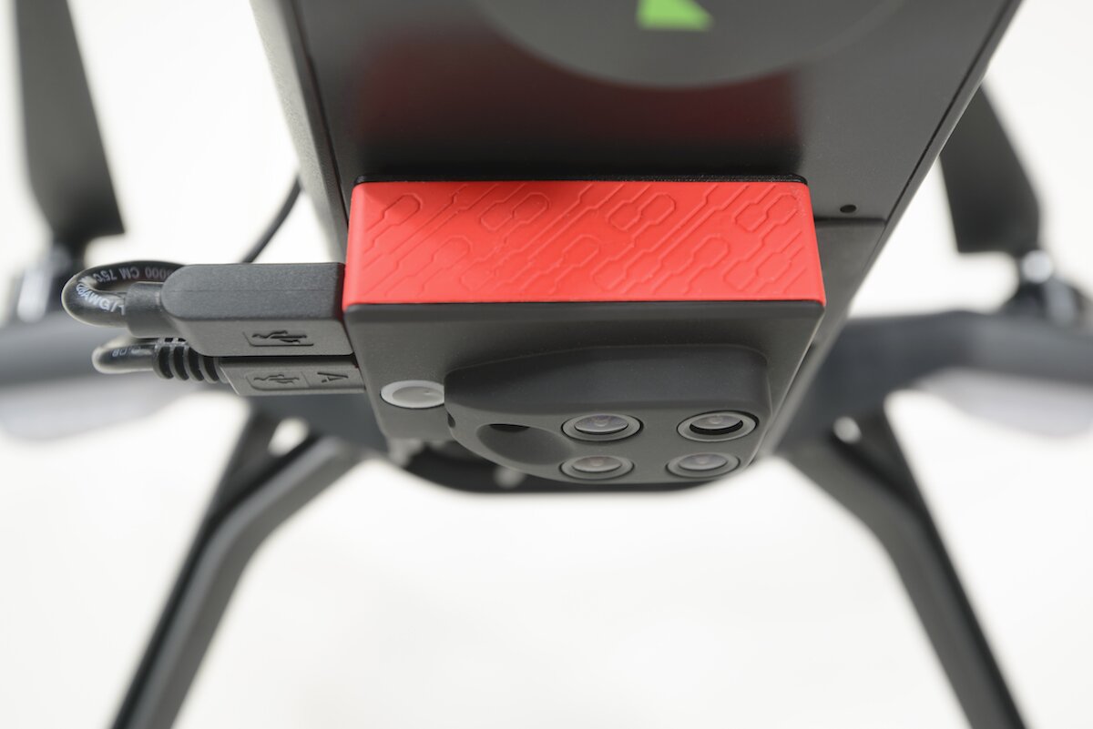
According to MicaSense, the Sequoia camera weighs 107 g and is suited for low-cost multi-rotors and small, fixed-wing platforms.
MicaSense says it is also offering its ATLAS cloud data solution to enhance the use of Sequoia. ATLAS processes Sequoia data through a cloud interface and automatically organizes processed outputs with no manual filtering or sorting. Crop health maps can be viewed in the field from any connected device for advanced scouting, the company explains.
The Pix4Dmapper Ag (version 2.1 beta) and Sequoia are both available for pre-order.
MicaSense says Sequoia is available at a list price of $3,500 through MicaSense.com and a variety of drone integrators to be announced later this month. Deliveries will begin in March, in time for the upcoming growing season. All new Sequoia operators will be given a complimentary subscription to ATLAS.
“The most important part about this joint release is the fact that the low price gives it the possibility of being deployed at the farming level, and not just the research level,” says Christoph Strecha, founder and CEO of Pix4D. “This technology is intended to increase accessibility to the end user. That’s the potential.”
senseFly, a Parrot company, says the Sequoia sensor will be immediately available for its eBee Ag drone.