Tag: aerial
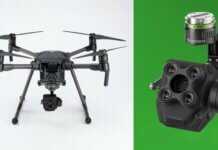
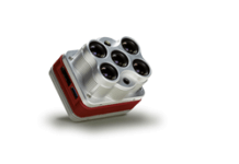
Sentera Integrates AGX840 Gimbaled Quad Sensor With DJI Matrice 200 Series
Sentera has announced the pre-order availability of the AGX840, an update to the company's four-channel multispectral camera, engineered specifically for the DJI Matrice drone series.Powered...
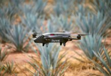
New Parrot Bluegrass Fields Offers End-to-End Drone Ag Solution
Parrot has announced a new end-to-end agriculture drone solution dubbed Parrot Bluegrass Fields.Part of the Parrot Business Solutions portfolio, Parrot Bluegrass Fields brings together...
Former NASA Astronaut Develops Single-Handed Drone Controller
Physician, pilot and former NASA astronaut Scott Parazynski has designed a single-handed drone controller dubbed the FT Aviator, created to increase the precision of...
AUVSI’s New Trusted Operator Program Gives Extra ‘Seal of Approval’ for Remote Pilots
The Association for Unmanned Vehicle Systems International (AUVSI) has launched the Trusted Operator Program (TOP), a new certification program available to remote pilots and...
Propeller, DJI Launch New PPK Drone Solution
Propeller Aero, a cloud-based drone analytics company, has announced a partnership with DJI to create the Propeller PPK Solution leveraging the DJI Phantom 4...
Kent State Works on Army-Funded Drone Propulsion Research
A researcher at Ohio's Kent State University has received an unmanned aircraft systems (UAS) research grant from the U.S. Army Research Laboratory.The grant provides more...
GE Venture OK’d for Beyond Line of Sight Drone Use with Radar
Avitas Systems, a GE venture, has received Federal Aviation Administration (FAA) approval to fly a large unmanned aircraft system (UAS) beyond the visual line...
University Researchers to Use Drones to Study Severe U.S. Storms
The University of Nebraska-Lincoln (UNL) is leading a significant drone-based investigation of severe storms and tornadoes in the U.S.More than 50 scientists and students...
MicaSense Altum Combines Thermal, Hi-Res and Multispectral Drone Imaging
MicaSense has released Altum, a new sensor designed for professional-grade agricultural mapping with drones.According to MicaSense, Altum captures synchronized multispectral and thermal imagery, enabling...
FAA Reauthorization Signed into Law With Key UAS Provisions
The Federal Aviation Administration (FAA) says it is "ready to get to work" on the provisions of the 2018 FAA Reauthorization Act, which was signed...


