Verizon, PrecisionHawk Continue Work on UAV Data Capture for Agriculture

Building on its global strategy to simplify the Internet of Things (IoT), Verizon has announced new developments that further expand its IoT portfolio, including its partnership with PrecisionHawk.
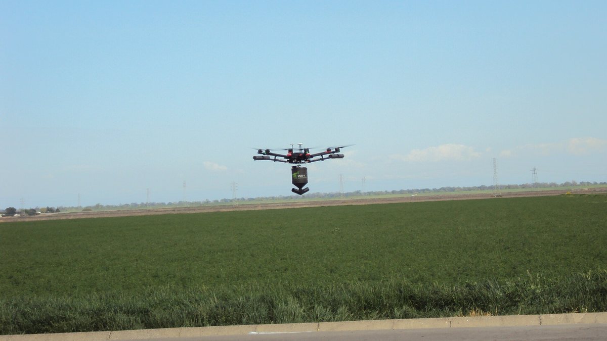
Recently, Verizon began an early-adopter drone trial with PrecisionHawk, a provider of unmanned aerial vehicles (UAVs) and aerial data analysis, to develop a mapping and analytics solution for the agriculture industry. The goal, says Verizon, is making agriculture even smarter.
The Verizon/PrecisionHawk UAV pilot was deployed at Hahn Estate, a family-owned winery based in the Santa Lucia Highlands in California’s Monterey County.
Verizon says the aerial data, collected to run specific crop algorithms, could help vineyard owners identify disease, estimate yield and harvest more effectively. LTE-enabled UAVs are currently not part of the trial.
“By demonstrating the value of high-resolution UAV data and analysis, we can help growers in both agriculture and viticulture, such as Hahn Estate, make more informed in-season decisions to assist with resource management and increased yield year over year,” says Mark Bartolomeo, vice president of IoT connected solutions for Verizon.
In October, PrecisionHawk partnered with Verizon, Harris and DigitalGlobe Inc. to incorporate their respective technologies to serve as a pathway for safe drone integration in national airspace. Assessment of the ecosystem is taking place through the Federal Aviation Administration’s Pathfinder program and NASA’s UAV traffic management project.
0 0 vote
Article Rating