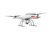
Trimble, a technology company focused on applications requiring position or location, is partnering with unmanned aerial system (UAS) manufacturer MULTIROTOR service-drone GmbH to expand Trimble's current UAS portfolio and provide additional solutions for its customers' aerial imaging project needs.
Trimble will be MULTIROTOR service-drone's exclusive provider of multi-rotor vehicles for aerial mapping use in surveying, construction, mining, agriculture, oil and gas, and utilities.
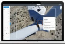
Multi-rotor data provides valuable information for the survey, engineering and agriculture industries that Trimble serves. High-resolution imagery, orthophotos, terrain models and normalized difference vegetation index map deliverables are all created from such data.
Trimble announced the partnership at the Association for Unmanned Vehicle Systems International's Unmanned Systems 2015 Conference and Exhibition.


