Parrot Introduces 3D Modeling Drone Pack with Pix4D Integration
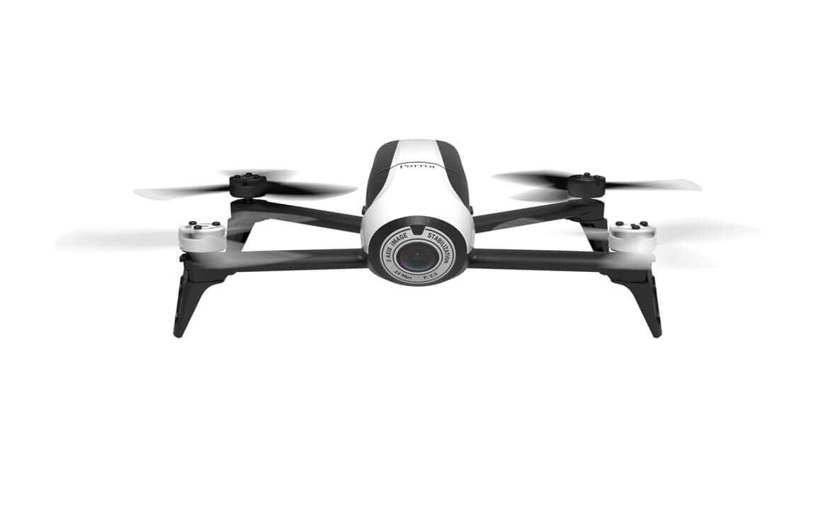
Parrot has introduced an all-in-one aerial imagery and 3D modeling solution for real estate and building professionals – the Parrot Bebop-Pro 3D Modeling pack.
The bundle includes a Parrot Bebop 2 drone with the Parrot Skycontroller 2 remote control, a one-year license to Pix4Dmodel software to process images and create 3D models, three lithium-polymer batteries, and a Parrot Bebop 2 backpack.
The lightweight, 500-gram Parrot Bebop 2 can be piloted via WiFi with a smartphone/tablet or with the Parrot Skycontroller 2, a dedicated remote control that extends the piloting range up to 2 kilometers. Offering up to 25 minutes of flight time, the drone also includes an embedded, full-HD, 14-mp camera for taking video and photos.
Then, explains Parrot, the free Pix4Dcapture flight planning app for iOS 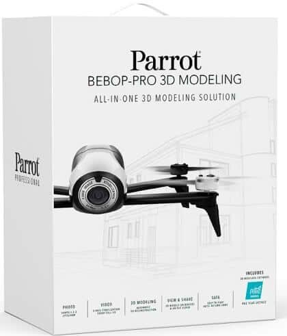 and Android smartphones/tablets turns the Bebop 2 in a professional photogrammetry tool. Once the user defines an area to map on the smartphone/tablet screen, the app creates an optimized flight plan.
In roughly 10 minutes, the Parrot Bebop 2 flies over the predetermined zone to collect images and data autonomously. In 30 minutes, the images and data are analyzed and converted into a realistic 3D model, thanks to the Pix4Dmodel image processing software.
Parrot is offering two solutions for the pack, which will be available starting in May:
- Cloud, in which geo-referenced images and data are transmitted directly to the cloud to be processed. After a few minutes, a 3D model can be exported or shared online.
- Desktop, in which users can access advanced features, including viewing, editing measuring and video editing for creation of a virtual tour of a property or for measurement – e.g., dimension, surface and volume – directly on the 3D model.
0 0 vote
Article Rating