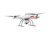
Photogrammetry software developer SimActive Inc. has collaborated with Delair-Tech – a developer of long-range monitoring solutions using small, autonomous unmanned aerial vehicles (UAVs) and image-processing techniques – to provide French National Railway Co. (SNCF) with a UAV mapping solution.
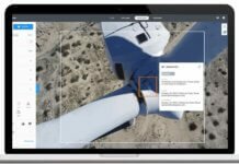
SNCF has purchased multiple Correlator3D licenses from SimActive. The software, used in conjunction with UAVs from Delair-Tech, performs aerial triangulation and produces dense digital surface models, digital terrain models, point clouds, orthomosaics and vectorized 3D features.
According to the companies, the Correlator3D, combined with the autonomy of Delair-Tech UAVs, allows a turnkey reference solution for entities to complete large-scale mapping projects.
Dr. Philippe Simard, president of SimActive, says the Correlator3D solution will “fulfill [SNCF’s] inspection needs on their vast railroad network.”


