 Draganfly Innovations has introduced what it calls an all-inclusive solution that can plan, fly and process advanced multispectral data: the Draganflyer Pro-Ag package.
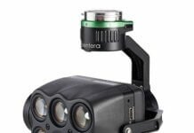
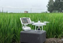
The solution consists of a compact, ready-to-fly vertical take-off and landing unmanned  aerial vehicle (UAV); a transport case; Draganfly Surveyor flight planning software; the just released, third-generation MicaSense RedEdge five-band, multispectral camera; and a two-axis stabilized gimbal.
According to the company, the combination of the MicaSense RedEdge and Draganflyer UAV provides a quick and effective solution for agricultural consultants and farmers.
 Draganfly Surveyor allows multi-flight mapping for situations in which the project requires multiple flights to cover the area; it will automatically join the flights to create one project.
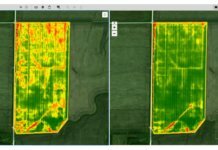
The collected imagery is used to assess the health of crops and identify damage caused by pests or invasive weed growth. The scientific-grade multispectral imagery provides accurate and repeatable crop health maps so that the proper corrective course of action can then be determined, the company explains.


