DJI has introduced a multispectral imaging drone designed for precision agriculture and environmental management.
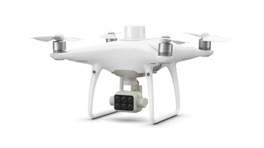
P4 Multispectral combines data from six separate sensors: It features a gimbal-stabilized imaging system composed of one RGB camera and a multispectral camera array with five narrow band sensors – including red edge and near infrared – that are capable of capturing visible and invisible light. This data gives professionals insights into vegetation stress, soil composition, and water salinity and contamination. An additional integrated spectral sunlight sensor maximizes the accuracy and consistency of data collection during missions flown at different times of the day, says DJI.
“P4 Multispectral has the promise to transform the agriculture and land management industries by collecting precise plant-level data without having to send personnel into the field for manual surveys,” says Jan Gasparic, director of strategic partnerships at DJI. “By combining multispectral imaging into a trusted, efficient and affordable tool, DJI is making this transformative technology more accessible to professionals around the world who are pioneering the adoption of drones in their industries.”
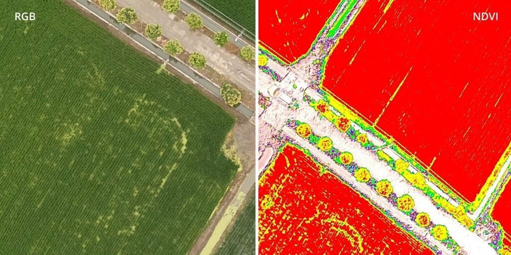
Integration into the DJI Ground Station Pro flight planning app allows pilots to switch between real-time views of the drone’s RGB video camera and normalized difference vegetation index output for immediate insights while in the field. An integrated RTK positioning module and TimeSync system support real-time, accurate positioning data for each image, optimizing photogrammetric results and providing centimeter-level measurements.
P4 Multispectral is compatible with standard industry workflows, including flight programming, mapping and analytics software from DJI and other providers. Using the DJI GS Pro application, users can create automated and repeatable missions, including flight planning, mission execution and flight data management. Data collected can be easily imported into DJI Terra or a suite of third-party software, such as Pix4D Mapper and DroneDeploy, for analysis or additional vegetation index maps. In addition, P4 Multispectral users can enhance the accuracy of RTK positioning without an internet connection by using DJI’s D-RTK 2 High-Precision GNSS Mobile Station, which supports all major global satellite navigation systems, or by using a third-party network RTK via an iPad with an internet connection.
Built on the DJI Phantom airframe, P4 Multispectral leverages DJI’s OcuSync transmission system for a smooth flight experience with less signal interference, enhanced video transmission and a 7 km maximum transmission range, the company says. Each of its 2-megapixel cameras features a global shutter for precise imaging during flight, with a maximum 27 minutes of flight time per battery.
The DJI P4 Multispectral will be available in October through authorized DJI Enterprise dealers worldwide. The P4 Multispectral costs $6,499 and comes with a one-year license to the DJI Terra (Basic) Windows software and a one-year license to the DJI GS Pro (Team-Professional) iPad app. Customers can also purchase the P4 Multispectral with the D-RTK 2 Mobile Base Station for a total of $9,100.