Wind and Weather Sensors Small Enough to Fly on a Drone
Measuring wind from a drone was, for years, a contradiction. The instruments that measure it accurately were too heavy to fly, and the aircraft that could fly disturbed the air it was trying to measure. Miniature ultrasonic anemometers, the TriSonica Mini among the best known, changed the first half of that problem, and careful mounting addresses the second.
How the measurement works
An ultrasonic anemometer has no moving parts. It sends pulses between pairs of transducers and measures how long each takes to arrive. Wind speeds the pulse up in one direction and slows it in the other, and the difference gives the wind component along that axis. Arrange enough paths and the instrument reports three-dimensional wind, and because the speed of sound depends on temperature, the same measurement yields air temperature as a by-product.
For a flying instrument, the absence of cups and vanes matters twice: nothing spins up or stalls in gusts, and nothing wears out or needs re-bearing after a season in dust.
Mounting is the experiment
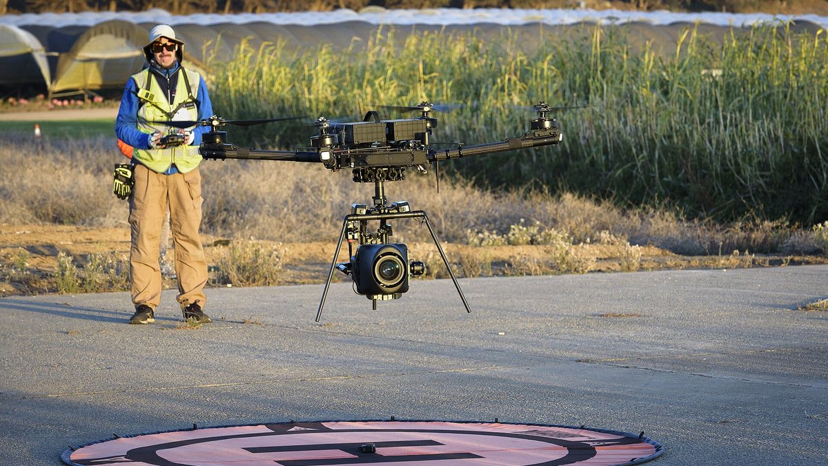
A multirotor pushes a column of air downwards and drags a wake behind it. An anemometer bolted to the airframe measures that, not the atmosphere. The standard answer is a mast that puts the sensor above the rotor plane, or a boom that puts it well ahead of the aircraft, and how far is a question every research group settles for its own airframe, usually by comparison against a fixed tower.
The aircraft's own motion has to come out of the data as well. What the instrument measures is wind relative to a moving platform, so useful results need accurate attitude and velocity from the flight controller, time-aligned with the wind samples. Programmes that log the sensor and the aircraft separately, without synchronised timestamps, spend a great deal of effort afterwards trying to line up two records that no longer agree.
What the data is used for
Atmospheric research wants vertical profiles through the layer nearest the ground, which is precisely the region towers cannot reach and weather models represent poorly. Spray operations want to know the wind at the height the droplets will actually travel, because a reading at head height understates drift. Wind energy work uses drone-borne profiles to check a site before anything is built. Fire behaviour analysis wants local wind near a fire line where no instrument will ever be installed.
What to check before buying in
Mass and power are the obvious constraints, and both are small enough now that the payload budget is rarely the deciding factor. The questions that matter are calibration, output and logging: when was the instrument calibrated and how is that documented, what data format comes out and at what rate, whether the aircraft's autopilot can log the stream directly or needs a separate recorder, and how the sensor behaves in rain and icing, since both end a flight's usefulness before they end the flight.
Finally, plan a comparison. Anyone who intends to publish or make decisions from drone wind data eventually flies alongside a reference instrument on a mast, and the operators who do that first are the ones whose numbers survive review.