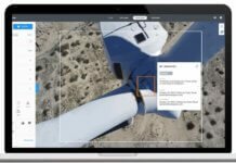
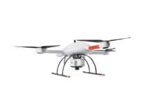
IMAGINiT Technologies, a division of Rand Worldwide, is partnering with Switzerland-based Pix4D to help architectural, civil and manufacturing design engineers extract imagery taken from unmanned aerial vehicles (UAVs) and convert it into usable 2D and 3D models.
Using Pix4Dmapper, says Rand Worldwide, these users can capture enough data to build a point cloud in approximately 15 minutes of flight time and one hour of processing time. Rand Worldwide, headquartered in Framingham, Mass., provides technology solutions to organizations with engineering design and information technology requirements.
“Through our partnership with Pix4D, we can now offer software that allows our customers more flexibility in how they use data captured by UAVs,” explains Tim Johnson, senior vice president of IMAGINiT Technologies. “Additionally, the software streamlines the workflow and reduces processing time to generate a usable point cloud from this aerial capture option.”
‘Pix4D is pleased to welcome IMAGINiT as a value-added reseller of Pix4Dmapper products in the USA,” says Antoine Martin, Pix4D’s business manager for the U.S. “The architecture, engineering and construction markets will benefit from valuable features such as high-speed image processing and automated photogrammetric tools that capture raw data from a variety of sensors, including drones.”


