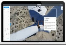
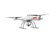
Unmanned aircraft systems (UAS) specialist AeroVironment has chosen SimActive Inc.’s Correlator3D photogrammetry software for its post-processing UAV imagery.
“We required an advanced photogrammetry solution to process large datasets for pipeline mapping and multispectral data,” says Joe Mohos, principal engineer at AeroVironment. “Correlator3D met these requirements.”
Correlator3D generates geospatial data from satellite and aerial imagery, producing dense digital surface models, digital terrain models, point clouds, orthomosaics and vectorized 3D features. The software quickly process thousands of images through GPU-powered and multi-core CPU computing, the company says.
“SimActive is proud to have one of the largest UAV makers in the world using Correlator3D,” remarks Dr. Philippe Simard, president of SimActive. “Their use of the software reinforces Correlator3D as the professional solution to a wide range of applications.”


