Drones That Replant: How Aerial Seeding Works and What It Can Honestly Claim
Reforestation by drone attracts attention because the arithmetic looks irresistible: an aircraft can cover ground faster than a planting crew, and the ground it covers can be steep, burnt or too remote to reach on foot. Companies backed by consumer drone makers have built businesses on that promise. The engineering is real, and so are the limits, and the two are worth separating.
Survey first, then seed
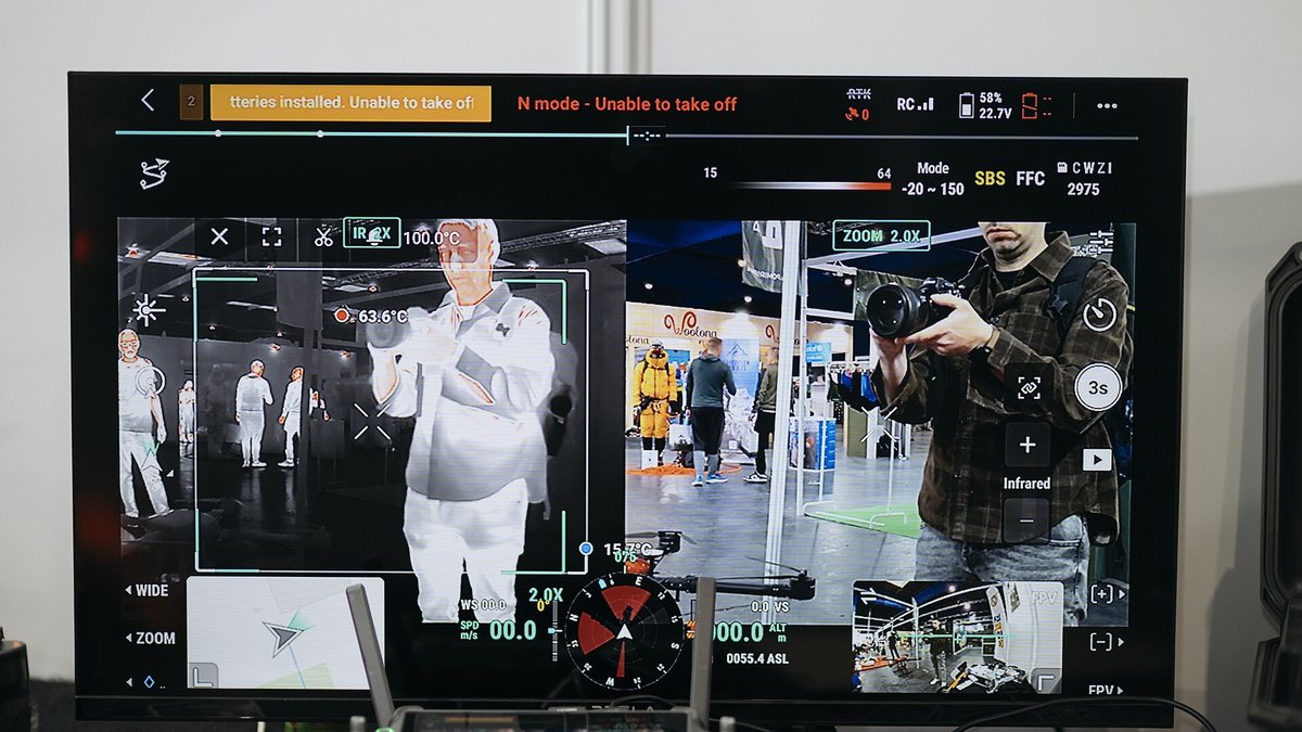
Aerial seeding is a two-pass job. The first pass is a mapping flight that produces an orthomosaic and a terrain model of the site, from which the crew works out which patches are plantable, where water collects, which slopes face the sun and which areas should be left to regenerate on their own. Seeding a burnt hillside uniformly wastes most of the payload. The map is what turns a spray of seed into a planting plan.
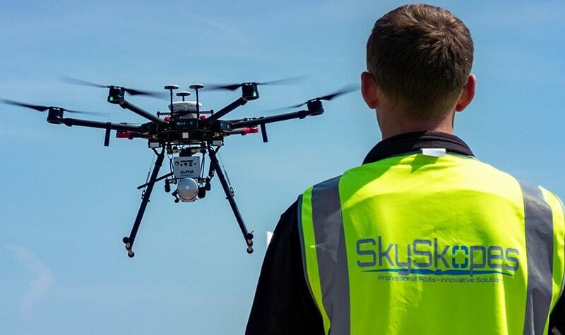
The second pass carries the payload. Depending on the system, that is bare seed, seed mixed with a carrier, or moulded pods that hold seed in a nutrient and deterrent matrix so it survives on the surface until rain arrives. Pods weigh far more than the seed inside them, which is the central trade of the whole approach: the heavier the protection, the fewer units an aircraft carries per sortie, and the more sorties the site needs.
Where it beats a planting crew
Aerial seeding wins where people are slow or unsafe: steep burns, unstable post-fire soil, mangrove flats, mine spoil, ground littered with standing dead timber. It also wins where the planting window is short and weather-bound, because an aircraft can be launched the morning the rain arrives.
It loses where survival depends on how the seedling goes in. A hand-planted nursery seedling arrives with roots, soil contact and a chosen microsite. Broadcast seed has to germinate where it lands, compete with grasses, and survive whatever eats it. On good ground with available labour, hand planting still produces more established trees per unit of seed, and the serious operators say so.
Reading the claims
Announcements in this field tend to quote seeds dispersed, which is a measure of payload, not of forest. The number that matters is stems established after a full growing season or two, counted on plots somebody else can revisit. Ask which it is.
Ask also what species mix went out, because a monoculture sown fast is a plantation and will be judged as one, and whether the site was mapped before seeding or simply flown. Finally, ask who monitors. A programme that returns with the same aircraft to count survival from the air, plot by plot, is doing restoration work; a programme whose last flight is the seeding flight has run a demonstration.
None of that makes aerial seeding a gimmick. It makes it what it actually is: a fast, cheap way to get seed onto ground people cannot easily walk, best used on sites chosen from a map and checked from the air afterwards.