Know Before You Fly Teams with AirMap for Airspace-Data Integration
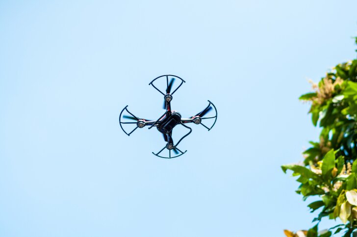
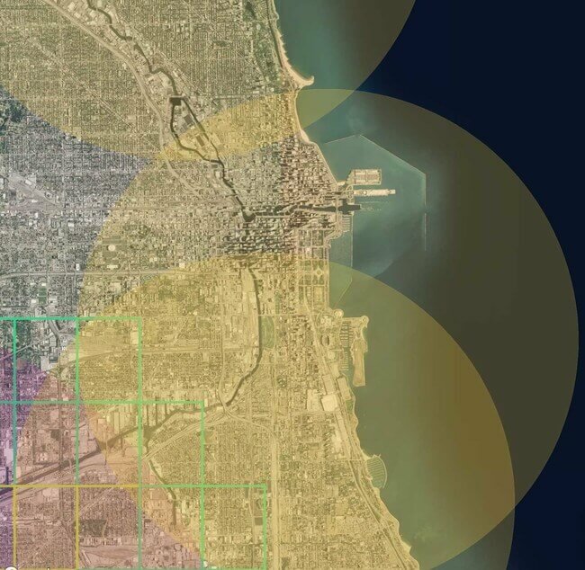
The Know Before You Fly unmanned aerial vehicle (UAV) safety campaign has now integrated airspace information from AirMap.
The Know Before You Fly initiative, first founded late last year by the Association for Unmanned Vehicle Systems International, the Academy of Model Aeronautics and the Small UAV Coalition, in partnership with the Federal Aviation Administration, is offering the following AirMap-collected data:
- Airport locations;
- Temporary Flight Restrictions: e.g., near wildfires or for the Pope’s arrival in Philadelphia;
- Prohibited or restricted airspace: e.g, the White House and surrounding area;
- National park locations; and
- National Oceanic and Atmospheric Administration marine protection areas.
Small UAV Coalition member AirMap, an online airspace database for UAV operators, was launched earlier this year by aviation expert and entrepreneur Ben Marcus and Dr. Gregory McNeal, a legal scholar on drones, public policy and air rights. In July, it received a $2.6 million investment led by Lux Capital.
The integrated map can be accessed here.