Tag: pix4d
Pix4D Opens New Office for Drone Software R&D
Pix4D, a provider of drone mapping software, has opened up a new research and development (R&D) office in Berlin, Germany. Based in Switzerland, the...
Drone Team Steps in After Colombia Landslide
Last month, unusually heavy rains caused floods and a massive landslide in Mocoa, Putumayo Province, Colombia. In turn, over 300 people lost their lives,...
Upgraded Pix4D Drone Mapping Software Generates Tiled Level-of-Detail Mesh
Pix4D, a Switzerland-based provider of drone mapping and photogrammetric software solutions, has released its Pix4Dmapper Desktop 3.2.According to the company, the new version offers...
University ‘Drone Data Race’ Incorporates Environmental Mapping
Tomorrow, the aerial and aquatic robot research group of the California State University Channel Islands (CI) is hosting a “drone data race” in Camarillo,...
How to Make it in the Industrial Drone Inspections Biz
A drone photographer turned drone inspections provider discusses the importance of understanding your data.
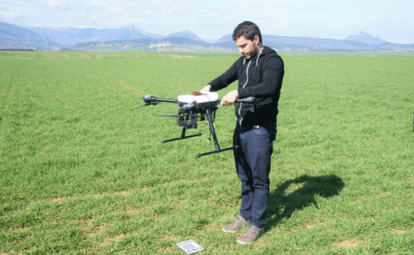
Producing Consistent Drone Data in Farming – Regardless of the Weather
When you are a service provider with high client expectations, you need to be able to obtain quality results on a regular basis. When...
Parrot Introduces 3D Modeling Drone Pack with Pix4D Integration
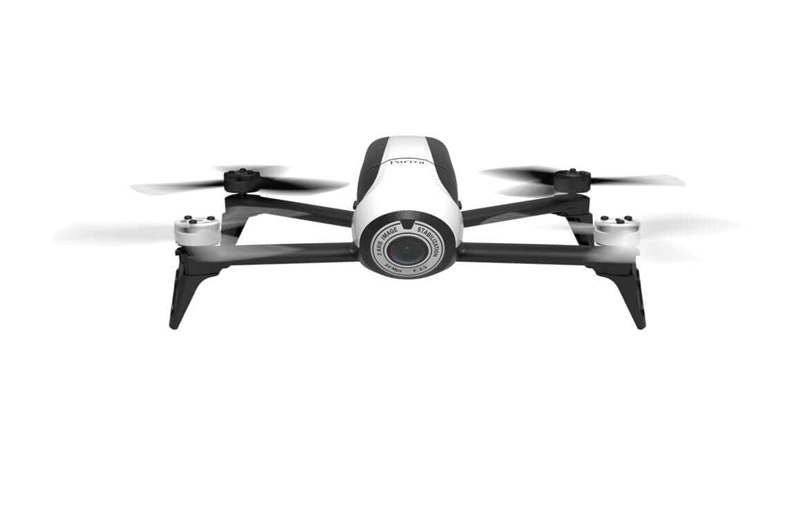
Parrot has introduced an all-in-one aerial imagery and 3D modeling solution for real estate and building professionals - the Parrot Bebop-Pro 3D Modeling pack.The...
Three Things Drone Mapping Brings to the Golf Industry
The emerald golfing greens have seen better days. According to the U.S.’ National Golf Foundation, the number of players has almost steadily declined from...
Pix4D Rolls out New Features on Drone Mapping Software
Pix4D has added new supported devices, flight missions and mission settings to its mobile flight planning app, Pix4Dcapture, used for aerial drone mapping.Now compatible...
Pix4D Touting Drone Mapping Solutions at United Nations Panel
Photogrammetry software company Pix4D is speaking about drone mapping at a panel held today by the United Nations’ Commission on Science and Technology for...


